Yonaguni Island Submarine Topography
Early reservations are recommended as they fill up quickly. 🔸Guide living in Yonaguni Island(at sentence-end, falling tone) indicates a confident conclusionCircuit tour with commentary!

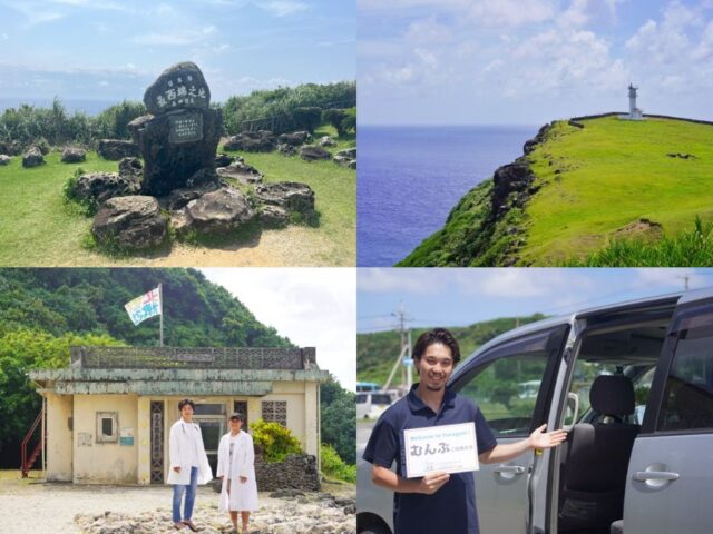
Enjoy Yonaguni Island by visiting popular spots!
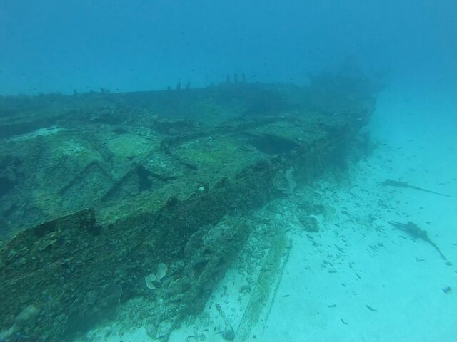
What is Yonaguni Island Submarine Topography?
It boasts a grand scale of approximately 250 m from east to west, 150 m from north to south, and 25 m in height, and is said to rival the pyramids of ancient Egypt in size.
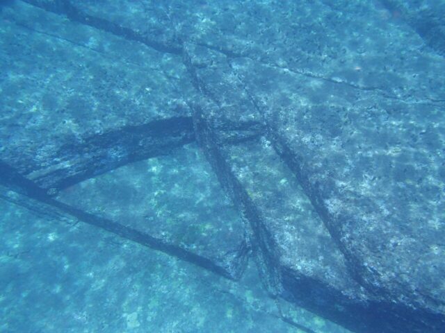
Around Yonaguni Island at Shinkawabana, a mysterious structure located underwater, experts are divided as to whether its origin is man-made or natural.
How to play Yonaguni Island Submarine Landforms
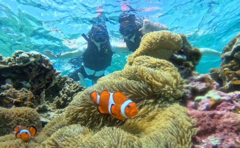
The surrounding area is teeming with a wide variety of creatures. A school of hammerhead sharks is a powerful sight.
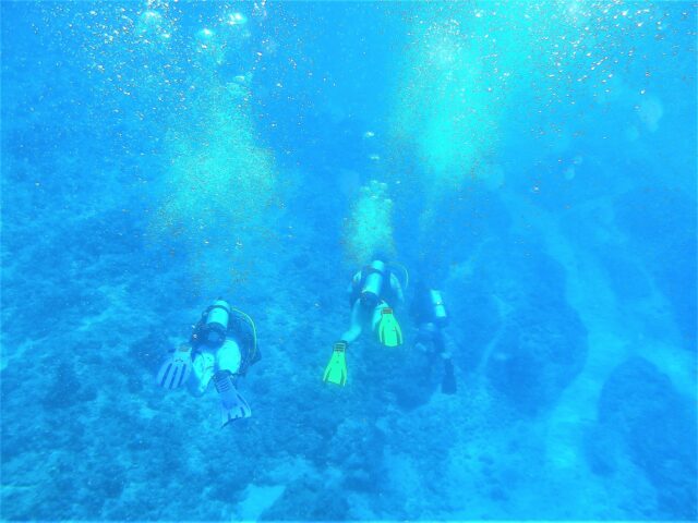
You can visit the site on a diving tour, or you can explore the ocean floor in comfort on the Jax Dolphin, a semi-submersible underwater ruins sightseeing boat.
Even among experts, opinions are divided between the theory of ancient ruins and the theory of natural landforms, which makes for a romantic atmosphere.
Detail of Yonaguni Island Submarine Topography
| Location | Yonaguni Town, Yaeyama District, Okinawa Prefecture (in Japanese history)View in Google Maps) |
| Access | 2 minutes walk from Kubura Fishing Port, 30 minutes by sightseeing boat from Yonaguni Sightseeing Boat Terminal |
| parking lot | None |
| toilet | None |


")